|
| *****SWAAG_ID***** | 952 |
| Date Entered | 26/09/2016 |
| Updated on | 27/09/2016 |
| Recorded by | Tim Laurie |
| Category | Mining Related |
| Record Type | Mining |
| Site Access | Public Access Land |
| Record Date | 24/09/2016 |
| Location | Arkengarthdale, Booze Moor. North Rake Hush. |
| Civil Parish | Arkengarthdale |
| Brit. National Grid | NZ 0135 0320 |
| Altitude | 430-450m |
| Geology | Open cast mined lead vein in Richmond chert strata over The Main Limestone. |
| Record Name | A visit to the head of the impressive North Rake Hush Lead Mine |
| Record Description | This record is intended to provide a photographic introduction to the present appearance of the upper section of North Rake Hush Open Cast Lead Mine. In addition to the lead mine remains, the fossil and botanical interest at this location will be indicated. |
| Dimensions | See photographs |
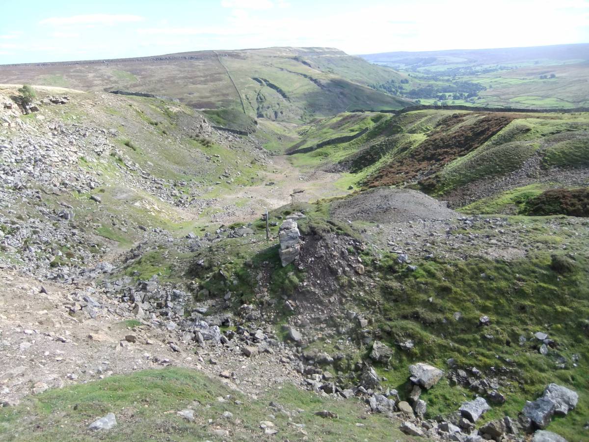
| Image 1 ID | 6966 Click image to enlarge |
| Image 1 Description | The head of the North Rake Flush | 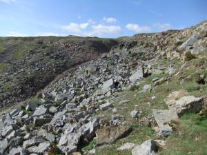 |
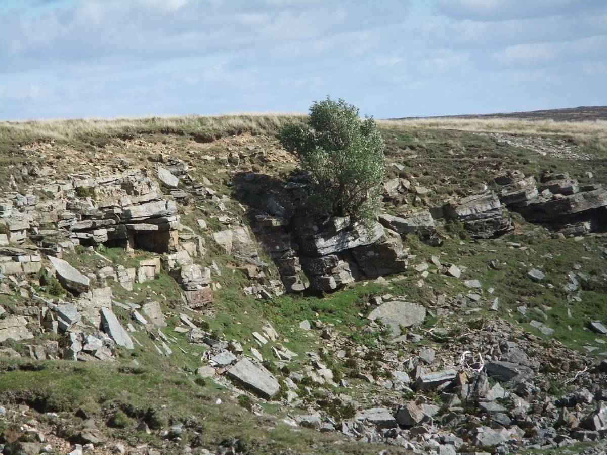
| Image 2 ID | 6952 Click image to enlarge |
| Image 2 Description | Isolated lead mine shafts above the head of the flush. |  |
| Image 3 ID | 6953 Click image to enlarge |
| Image 3 Description | Lead mine shafts of differing appearance provide evidence for surface lead mining over many centuries. | 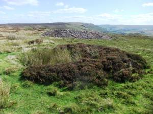 |
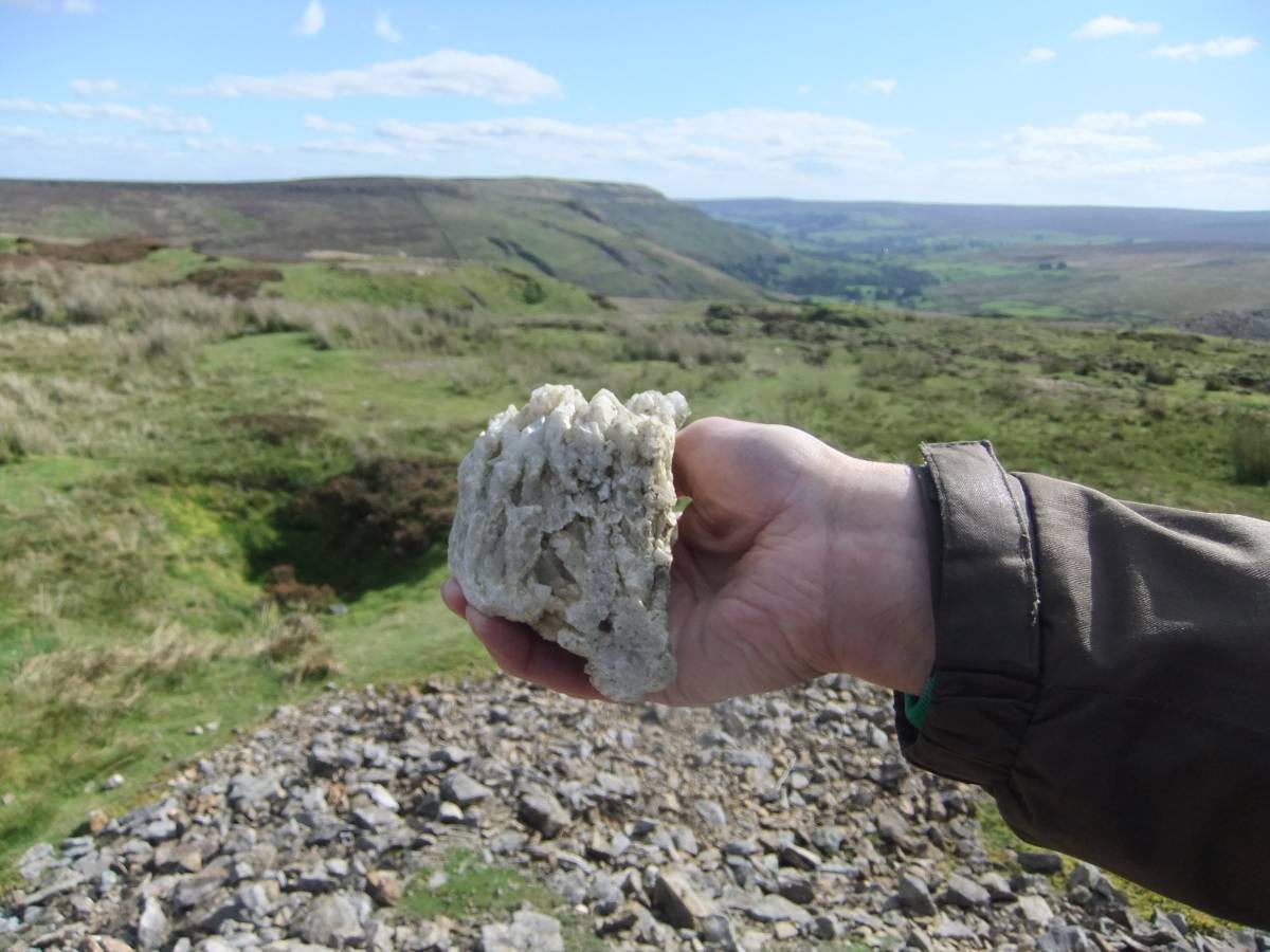
| Image 4 ID | 6961 Click image to enlarge |
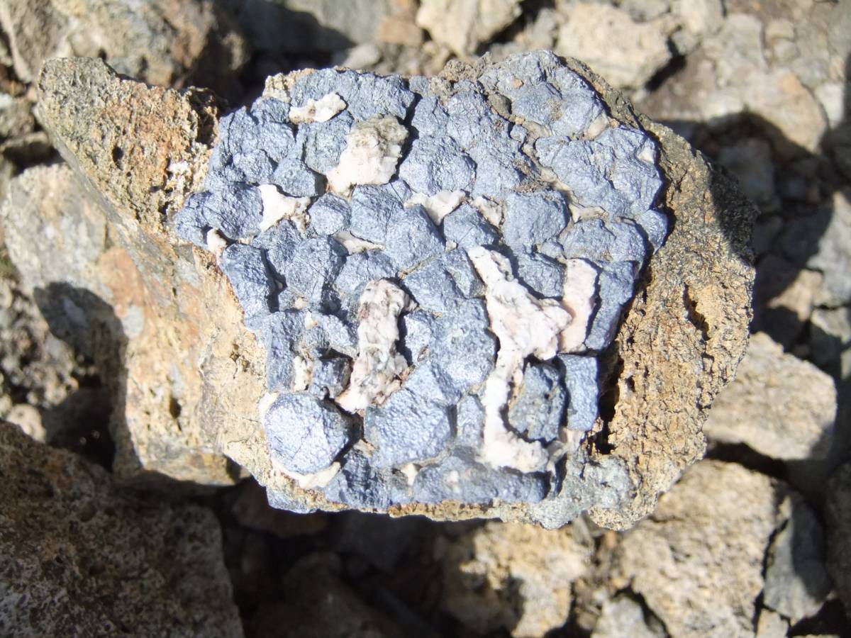
| Image 4 Description | Galena, lead sulphide,mineral from the spoil heaps. This specimen shows the cubic form of individual Galena crystals isolated within a matrix of Barytes. | 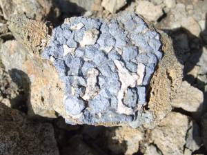 |
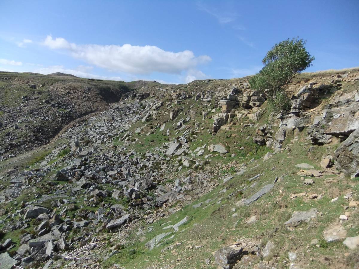
| Image 5 ID | 6956 Click image to enlarge |
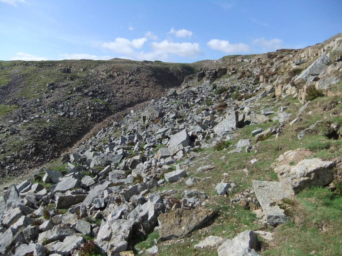
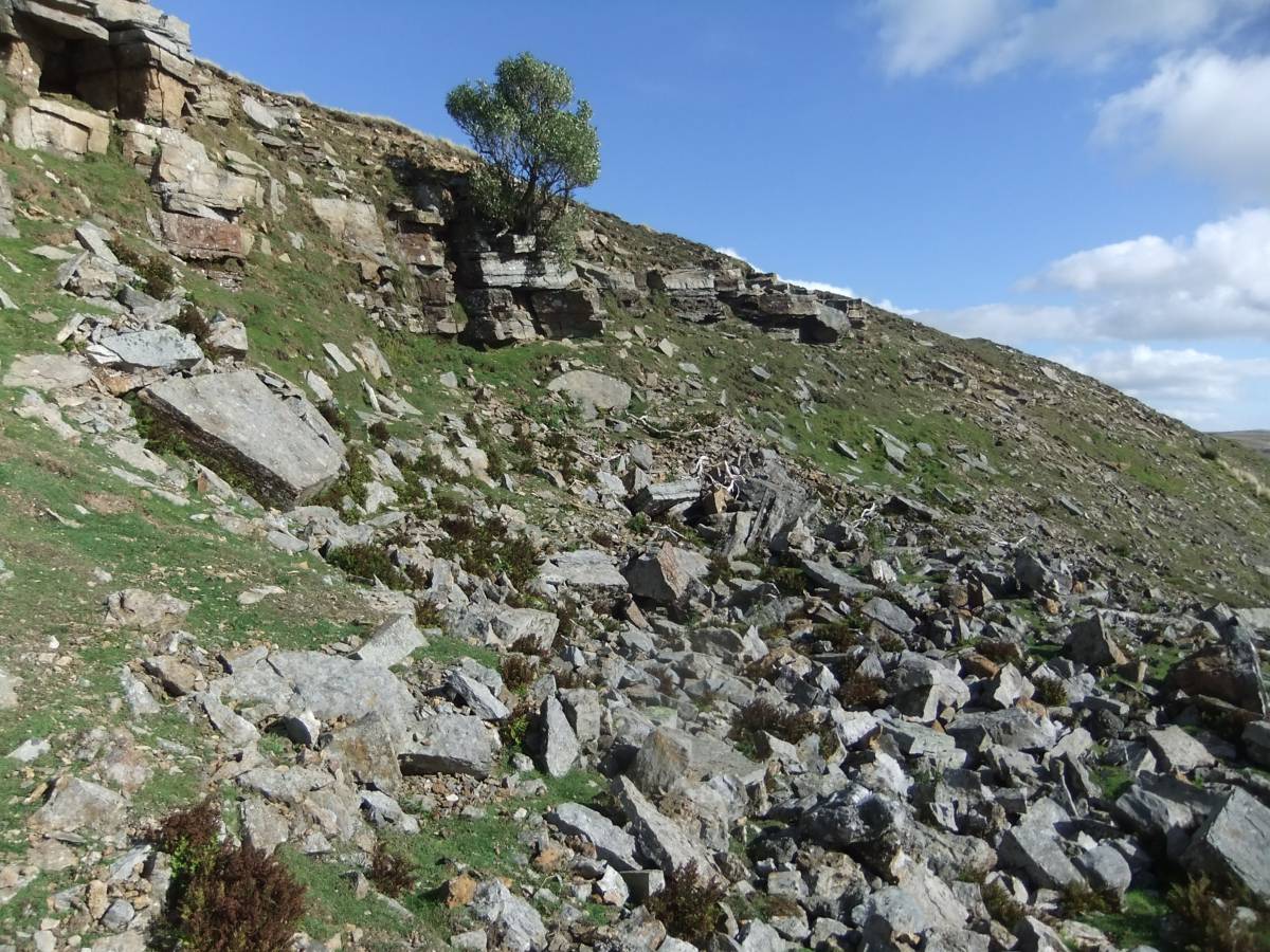
| Image 5 Description | North Rake Hush, Upper section. | 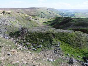 |
| Image 6 ID | 6957 Click image to enlarge |
| Image 6 Description | North Rake Hush, Upper section. Fell End in distance. | 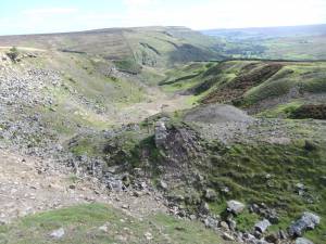 |
| Image 7 ID | 6958 Click image to enlarge |
| Image 7 Description | Chert strata at head of the Flush. | 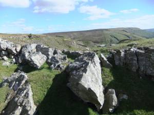 |
| Image 8 ID | 6959 Click image to enlarge |
| Image 8 Description | Solitary old multi stem elder on cliff at edge of the North Rake Flush. Note the white fragments of branches torn off by the wind from this old bush in the scree below. | 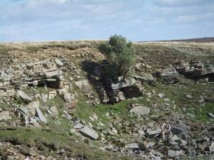 |
| Image 9 ID | 6954 Click image to enlarge |
| Image 9 Description | Calcite mineral in the upcast of one of the shaft mines. |  |
| Image 10 ID | 6962 Click image to enlarge |
| Image 10 Description | View to the head of the North Rake Flush. | 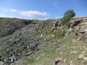 |
| Image 11 ID | 6970 Click image to enlarge |
| Image 11 Description | Fragmentary masses of the colonial coral Syringopora sp. are present on blocks in the scree derived from chert strata at the edge of the hush. | 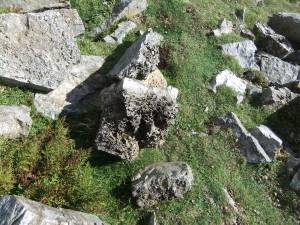 |
| Image 12 ID | 6967 Click image to enlarge |
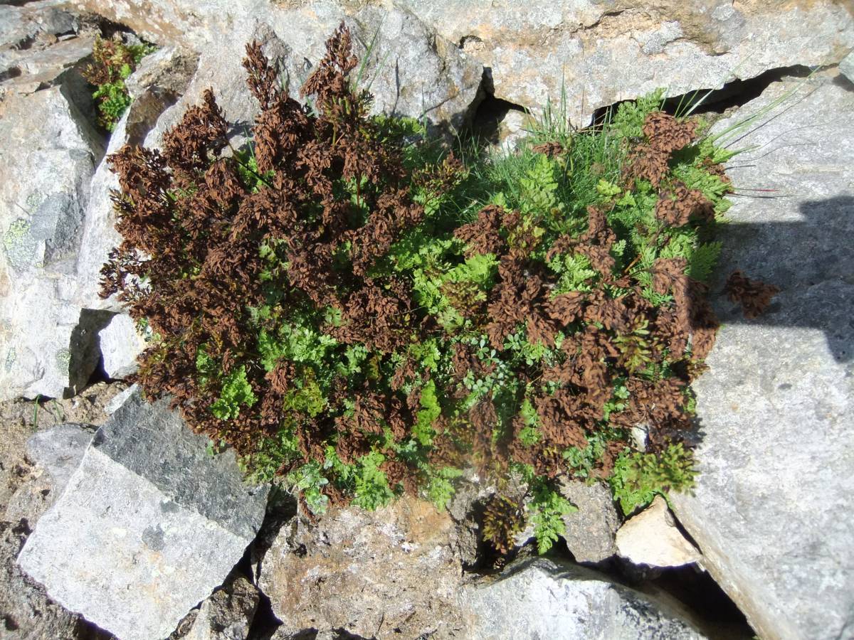
| Image 12 Description | A large colony of Parsley Fern, Cryptogama crispa, thrives in scree. This fern is common in scree in the Lake District and is present in Upper Teesdale. Parsley fern is very rare elsewhere in the NE Pennine Dales. |  |
| Image 13 ID | 6968 Click image to enlarge |
| Image 13 Description | Parsley Fern in scree detail |  |
| Image 14 ID | 6969 Click image to enlarge |
| Image 14 Description | Parsley Fern in scree detail |  |
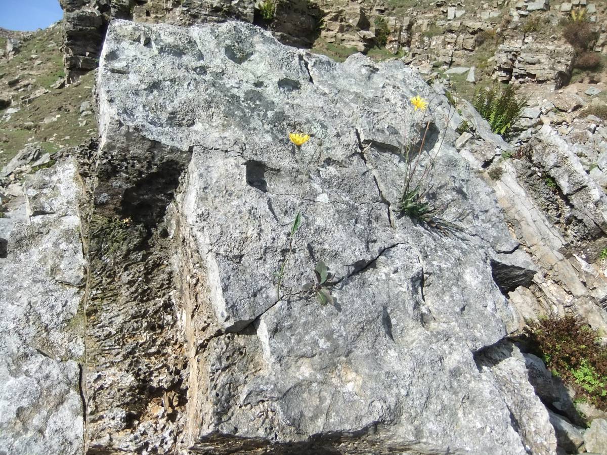
| Image 15 ID | 6971 Click image to enlarge |
| Image 15 Description | Detail of a large block in scree with the colonial coral Syringopora sp. and a fine example of one of the Hawkweeds ,Hieraceum agg., in flower | 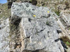 |
| Image 16 ID | 6972 Click image to enlarge |
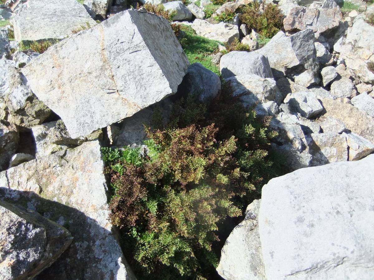
| Image 16 Description | Scaly Male Fern, Dryopteris borreri, in scree with Parsley Fern. | 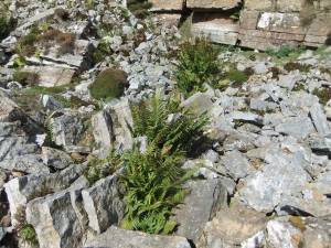 |
| Image 17 ID | 6973 Click image to enlarge |
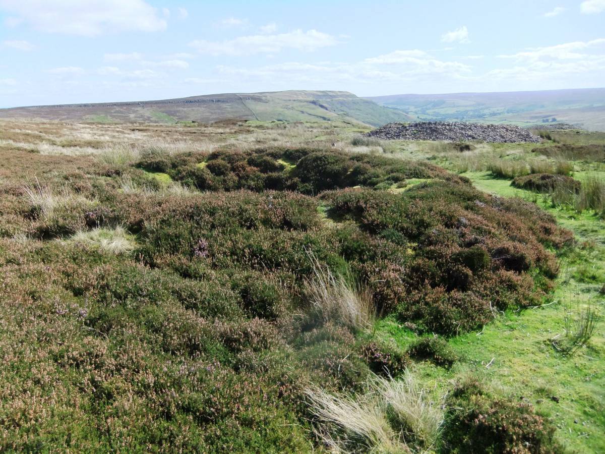
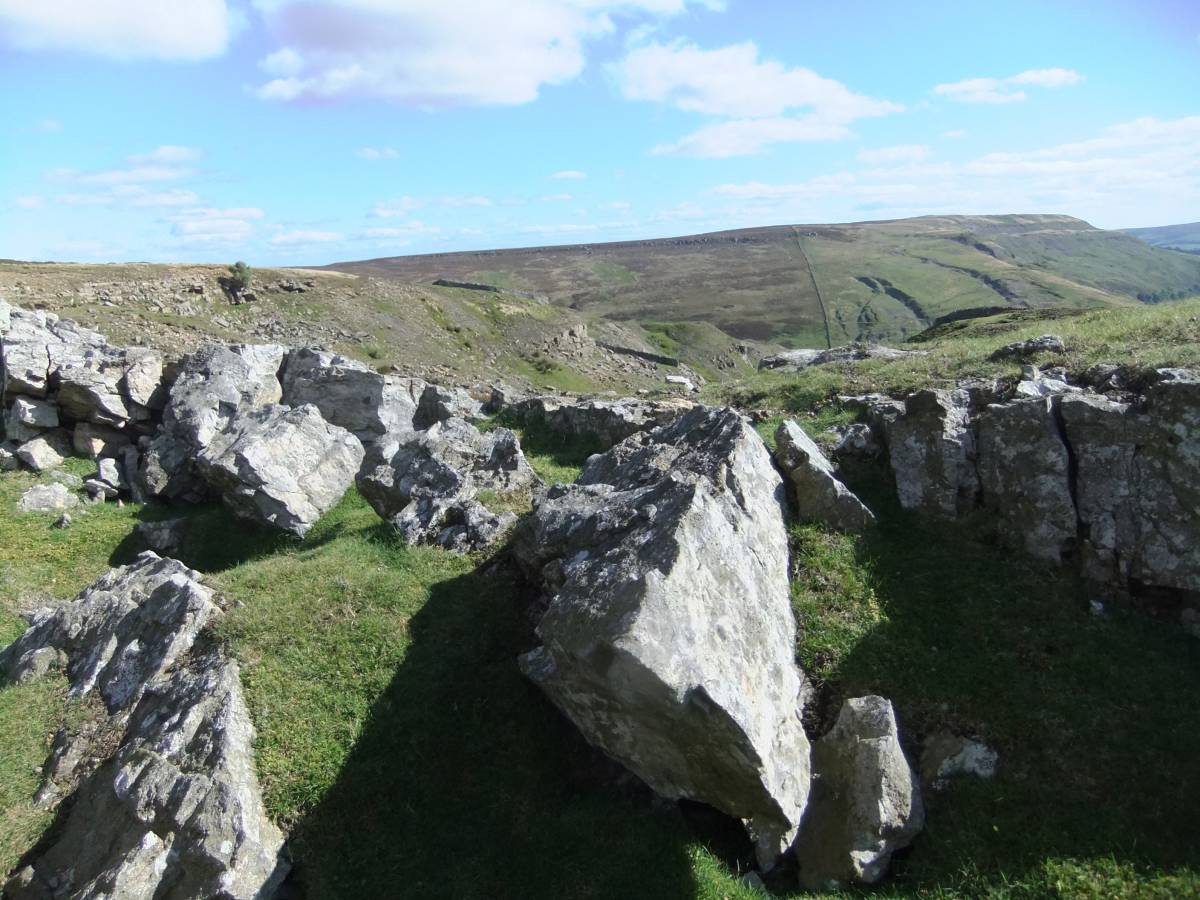
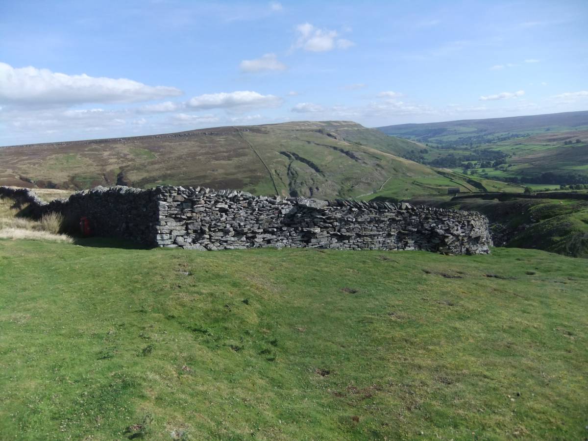
| Image 17 Description | A fine example of the art of the dry stone wall. Enclosure at North Rake Hush. | 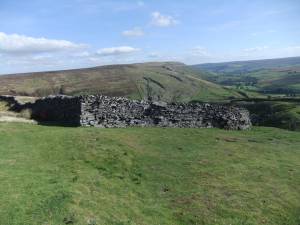 |
| Image 18 ID | 6974 Click image to enlarge |
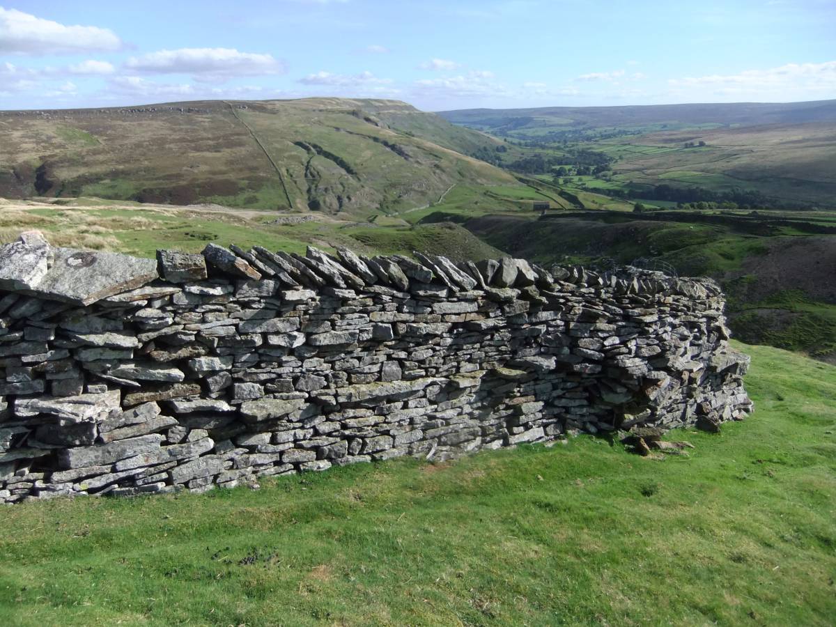
| Image 18 Description | Detail of this wall. | 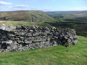 |